8/24/11 Day 19 continued... After a stop in Durango at the Harley shop and the Texas Smoke BBQ, for the best pulled pork sandwiches, we hit the highway to Cortez, CO. On the way into town is this great view of Mesa Verde and the "silhouette of the Sleeping Ute". We had spent a day here last year and would recommend highly the tour of Mesa Verde. Rolling hills, horse ranches and cow pastoral land brought us into the town of Cortez.

Check out this view of Mesa Verde from our campsite! This was the KOA and we got a huge open field to ourselves for our tents. This was our last night to camp with Barney as he was making his way back to Orange Co, CA in the morning and we would start our journey out of Colorado towards Utah. We enjoyed a much needed swim in the pool before a thunderstorm made them kick us out! Nothing like 95 degrees with pouring down rain, thunder and lightening.... Not quite like the Northwest!

Luckily we had already set up our tents and Cowboy Mark didn't have to saw down this tree to decrease our chance of getting hit by lightening! He was practicing with the backpack saw my Dad gave us for the trip!

8/25/11 Day 20- Said our good-bye's to Barney and Mark and I took Highway 145 to Telluride, CO. We followed the Delores River on the opposite side of the mountain range of the Million Dollar Highway. We completed the "circle" of scenic byways this way! It was a pretty drive along the riverbed, canyons and small farms.

One of the little towns, Rico, along the mountains before Lizard Pass. We have fallen in love with the Colorado that we've seen so far. We may be ready to get down to some lower elevation though since we've been mostly over 6,000 feet for the majority of the 3 weeks we've been gone.

A little lake that we got to view for awhile during a construction stop. Finally, an easy picture to take while the bike was stopped! Don't have to delete the blurry ones this way!

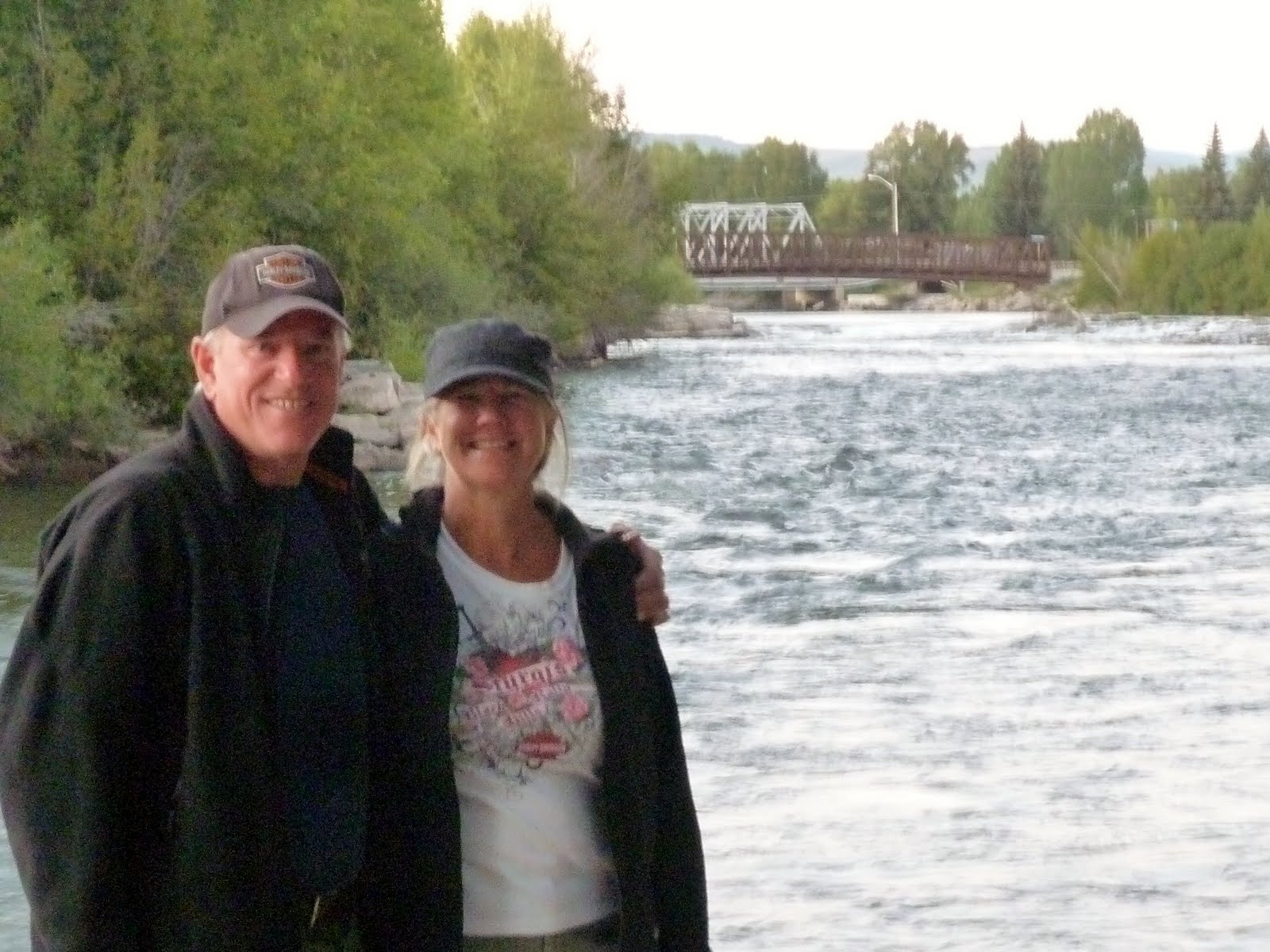
Telluride, CO- elevation 8,792 ft. This is from the Mountain Village. Wow, what spectacular houses and lodging in this ski village town.

After lunch in town I talked Mark into a gondola ride up the mountain from town. A thunderstorm had just started and it was pouring down rain but we tackled the adventure anyway.

Just to prove that he did it! What a great way to see the town and mountain.

The journey up the gondola ride in the rainstorm! Telluride down below where we had just eaten at the local brewpub. Amazing how much you can do in 2 hours!

Leaving Telluride towards Placerville. Nice ride along the San Miguel River with an opportunity to wear our raingear for a short time. Onwards to Utah we went and the temperature just kept climbing as we weaved our way on Highway 145 in the back boonies of the southwest corner of Colorado.

 8/27/11 Day 22- No storm last night in Moab! We packed up from the campground early and headed out to beat the high afternoon temperatures we hoped! We took highway 191 to 70 through Green River, UT the turned north on 191 through the little towns of Price and Helper. Working our way to Provo, Mark had to bear the terrible road construction or should I say destruction of the highway systems in the Provo/Salt Lake City area. We decided to stay in Provo at the Utah Lake State Park and call it a day in the mid-afternoon.
 Utah Lake State Park was booming on this Saturday since the Utah half-marathon was finishing right next to the campground and all the recreational watercraft was launching! The campground was nice- bordering the largest fresh water lake in Utah. It is apparently loaded with different fish and interestingly it only averages a 9 ft. depth. I found out all about that when I tried to swim in it and there was a dead fish on the shore and the water was warmer than the KOA pool was.
 Mark was working on making "red-neck fried rice" AKA rice-a-roni with fried spam cooked in! After a little game of football with the rubber football we found it was time to get out the bug spray! The camphost warned us about the mosquitos that come out with a vengence after the sun sets. Well, he didn't lie about that! Soon after that onslaught a thunderstorm hit the area so we retired to the tent for the night as well as everyone around us!
 8/28/11 Day 23- Good morning and good bye Utah Lake mosquitos. Putting the wet tent and tarp in the motorcycle trailer we headed north for breakfast at McD's and regrouped! We were so glad we came upon the bird refuge outside of Brigham City. It was just us on the whole 14 mile area and even the interpretive center was closed due to it being a Sunday. This is a 74,000 acre refuge of marshland, water and uplands. You could even see the salt deposits along the marsh. The road apparently ends at the Great Salt Lake but at the end of the 14 mile road it was closed to road construction! So our Salt Lake viewing had to take place from the glimpse from the highway!
 More of the bird refuge. There was a rare fisherman on the riverbank this morning. We could hear the birds but didn't see very many.
 A few sandpipers callling it home. They were singing like they were in the church choir this Sunday morning. I would too if I knew I had all this acreage to call a safe haven!
 Distant shot of the refuge with the Wasatch Mountains in the background. We had the mountain range in view on both sides from our last campground.
 On towards Idaho we went on I-15. The Caribou-Targee National Forest mountains are in the background as we head north. Another beautiful sunny afternoon for motorcycle riding. We have over 3,600 miles on the bike so far.
 Hello Idaho and farewell Utah. It's bittersweet to know we are working our way home but we feel so fortunate to have experienced this new adventure and travel to areas we have never seen.
 About 40 miles over the Utah/Idaho border we ventured off to Downey. Population about 600. Crossing Malad Pass at 5,500 ft. seemed like nothing compared to all the 10,000 ft. passes we'd been over in Colorado! We had read about a Hot Springs Campground so decided to make it our home for the night.... boy we were in for a surprise!
 Downata Hot Springs Campground nestled in the trees along highway 91. We were the only campers in the 100 campsites besides the camphosts. The place had literally shut down the day before because school had started in the area! No open pools, waterpark, hot springs, store but the bathrooms were open and they had great internet access! I worked on this blogsite for the rest of the afternoon and early evening! Mark relaxed and grilled up some tubesteaks for dinner.... we promise to eat better when we get home! Well, we discovered that the tent does stay waterproof at night and we can survive an entire night of thunder, lightening and rain. We have NEVER seen or heard what we did this night. Earplugs didn't even come close to diminishing the thunder or the train whistle throughout the night 1/4 mile away. The ground was rumbling and we had lightening 360 degrees. It was beautiful to watch but a little scary since there was only 1-2 seconds max inbetween the lightening and thunder. It made for a good story and I'm here to tell you that we did survive! No mosquitos though just horseflies since we were adjacent to a horse pasture! We wondered where those horses hunkered down for the night :)